KUCHING: More than 1.25 million hectares of Native Customary Rights (NCR) land have been surveyed throughout Sarawak as of Aug 31 this year under the New Initiative NCR Land Survey programme.
Premier Datuk Patinggi Tan Sri Abang Johari Tun Openg said the achievement was significant but should not be measured by figures alone, as every lot and boundary represented families, history, livelihoods and the future of the next generation.
“Therefore, the next work must be seen as an end-to-end solution, from identifying the area, then surveying and verification of boundaries, right through to documentation, registration, and issuance of titles,” he said.
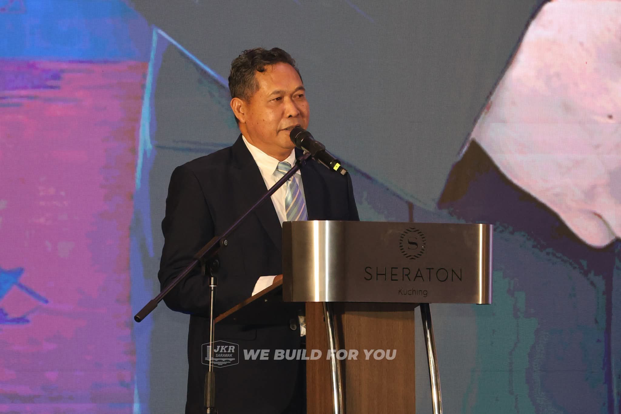
He said this in his speech at the closing ceremony of the Land And Survey Innovation and Integrity Day (HIITS) 2026 at a hotel here, last night (Sept 23).
He said technology could accelerate the process, but engagement with landowners, communities and stakeholders remained important to ensure the process was clear and effectively communicated.
“Clarity of process and good communication will reduce disputes, increase confidence, and ensure the rights of the people continue to be protected,” he said, adding that the Sarawak government remained committed to accelerating the surveying and issuance of titles for NCR land.
Meanwhile, Abang Johari also called for the Land and Survey Department to continue strengthening its approach as the state entered the 13th Malaysia Plan (13MP) period from 2026 to 2030, alongside the implementation of its Strategic Plan 2026-2030.
“Therefore, our focus must shift from planning to delivery. Every strategic plan must have clear outcomes, realistic implementation periods, and performance measures that show actual changes.
“For the Land and Survey Department, I see six key frontiers that need to continue to be strengthened,” he said.
He said these included ensuring the orderly, transparent and fair resolution and documentation of NCR land, as well as strengthening land-use planning to better address urban growth, housing needs, new infrastructure and the impact of climate change on the state’s development.
Abang Johari said the department must also modernise its surveying and mapping systems to ensure Sarawak’s geospatial data was accurate, consistent and accessible across agencies.
He added that the valuation function needed to be strengthened to ensure land acquisition, compensation, premiums and valuation advice to the government were handled efficiently and consistently, based on reliable market data.
The other areas included strengthening the governance and regulation of mineral resources, as well as positioning land data as strategic infrastructure to support government decision-making and the digital economy.