KUCHING: The Sarawak Land and Survey Department is set to expand its functions into underwater surveying as the state strengthens its management of mineral resources and activities within its continental shelf.
Premier Datuk Patinggi Tan Sri Abang Johari Tun Openg said advances in surveying technology now allowed underwater areas to be mapped and studied more accurately without relying on conventional methods.
He said the department must adapt its functions to keep pace with technological developments, particularly in understanding and managing resources beneath the sea.
“Sometimes people ask me, is it only on land? What about your marine in the sea areas? But for us, we firmly hold that the continental shelf is under Sarawak.
“It is extended land towards the sea and submerged by water. Meaning it is our land, and we have to survey also — land under water,” he said.
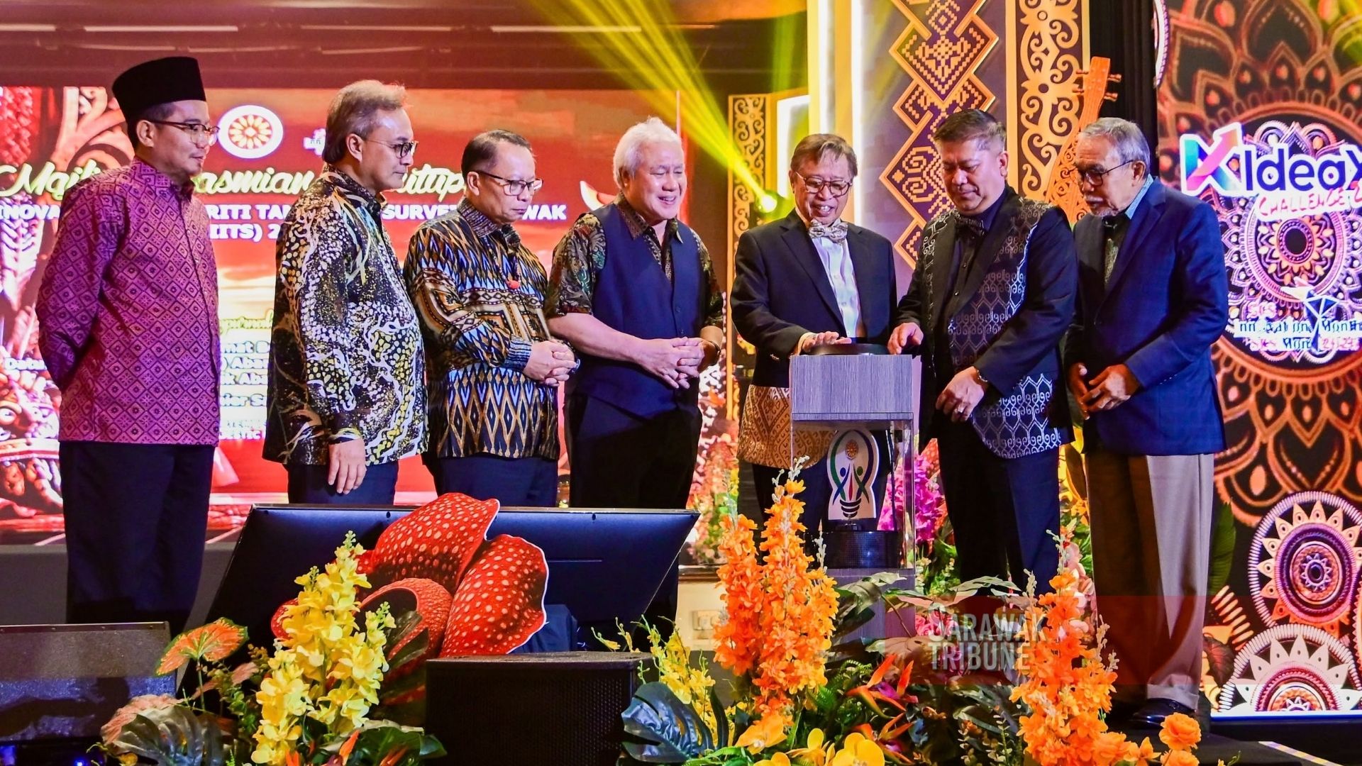
He said this in his speech at the closing ceremony of the Land And Survey Innovation and Integrity Day (HIITS) 2026 at a hotel here, last night (Sept 23).
Abang Johari said the department’s permanent secretary and director must therefore look at how surveying could be carried out in underwater areas, noting that technology had advanced significantly.
“In the past we were like using oxygen tanks. But now there is technology. You have the technology to see what is underwater,” he said.
He said similar technologies were already being used in the oil and gas industry, where sensors could detect structures and resources beneath the seabed.
“That is why I think the Land and Survey Department is now shifting its functions, including underwater.
“So the director told me, ‘No problem, we are innovative. We always innovate how to find solutions’. So I believe the Sarawak Land and Survey can do it, even in the sea,” he said.
Abang Johari said the move was also driven by Sarawak’s growing focus on mineral resources, which required the department to strengthen its enforcement and technical capabilities.
He said while minerals had previously received less emphasis, the state was now enhancing its mineral-related functions by drawing on international expertise and technologies.
As part of the effort, he said a delegation led by Deputy Premier Datuk Amar Awang Tengah Ali Hasan had visited Canada to study mineral management technologies, including rehabilitation practices after resource extraction.
“However, the development of mineral resources must be guided by three things, namely knowledge, governance and sustainability,” he said.
Abang Johari said accurate scientific data, mapping and environmental assessments were essential to determine the location, value and risks associated with strategic minerals and rare earth elements.
“In the era of strategic minerals and rare earth elements, decisions cannot be made based on assumptions. They must be based on scientific data, accurate mapping, environmental assessment and clear governance,” he said.