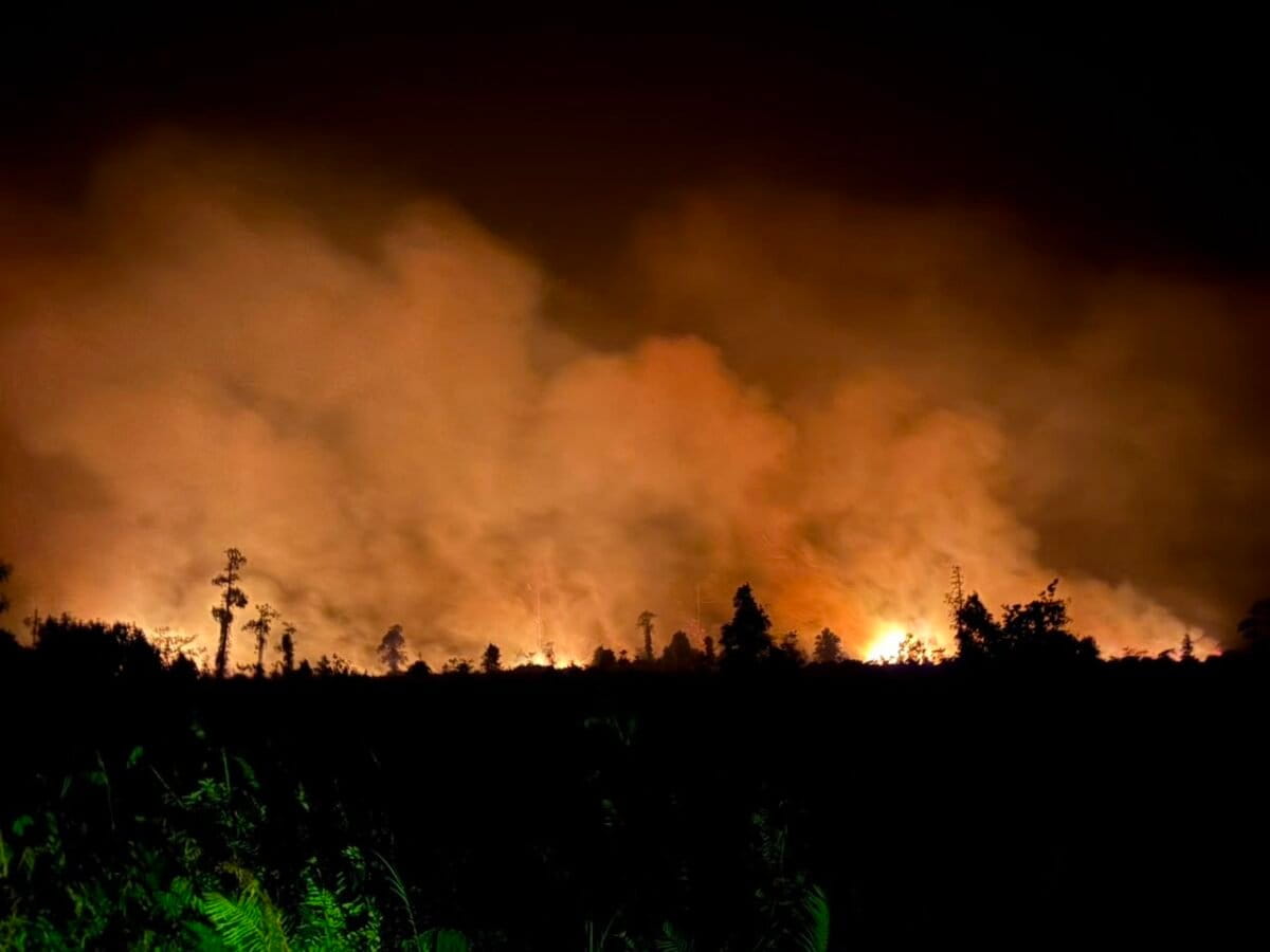
JAKARTA, Indonesia: Hotspots in Central Kalimantan surged by 1,837 to 3,947 within a single day as Indonesia continues to battle forest and land fires across six priority provinces in Sumatra and Kalimantan.
National Disaster Management Agency (BNPB) Acting Head of Disaster Data, Information and Communication Centre, Berton Panjaitan, said the latest monitoring today also showed hotspots increasing by 262 to 1,079 in South Kalimantan and by 215 to 2,825 in West Kalimantan.
“In West Kalimantan, visibility is reported to be below one kilometre, while in Central Kalimantan visibility is at four kilometres and in South Kalimantan, the visibility is above seven kilometres,” he told an online media conference on Thursday.
In contrast, Berton said hotspot numbers declined across the three priority provinces in Sumatra.
“In South Sumatra, the number of hotspots decreased by 263, bringing the number detected to 1,175. In Riau, there was also a decrease of 157, bringing the number of hotspots detected to just 68. In Jambi, the number of hotspots also declined to 42, a decrease of 92,” he said.
Amid the mixed trend, Berton said firefighting efforts continued through ground and aerial operations, with personnel carrying out monitoring, firefighting and cooling activities in priority areas where hotspots and fire spots remained.
He said 52 aircraft remained deployed for aerial operations as of Wednesday, comprising 14 for patrols and weather modification operations (OMC) and 38 for water bombing.
Two of the aircraft were temporarily assigned to Lampung and East Java following forest and land fires there, he said.
“We hope that every hotspot in Sumatra and Kalimantan will decrease significantly and even return to normal conditions,” he said, adding that about 4.1 million litres of water had been dropped through water-bombing operations as of 4:00 pm Wednesday (Aug. 26).
Meanwhile, BNPB data showed the indicative burned area across the six priority provinces stood at about 75,235 hectares, with West Kalimantan accounting for the largest area at 38,311 hectares, followed by Riau at 16,465 hectares and South Kalimantan at 9,943 hectares.
Central Kalimantan recorded an indicative burned area of 7,634 hectares, while South Sumatra and Jambi recorded 1,926 hectares and 954 hectares, respectively. – BERNAMA