PADAWAN: Almost 1.3 million hectares of Native Customary Rights (NCR) land have been surveyed since 2010 under the accelerated land measurement initiative.
Deputy Premier Datuk Amar Awang Tengah Ali Hasan said the state government recognised NCR land ownership, provided sufficient evidence is available and claims comply with existing laws.
“NCR land surveying efforts have been ongoing since the 1960s through various settlement operations.

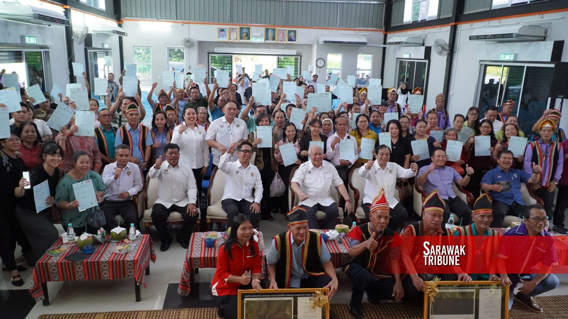
“From the 1960s until 2010, we only managed to survey about 260,000 hectares of NCR land,” he said during a land title presentation ceremony for Section 6 gazettes and Section 18 land titles under the State Land Code for the Mambong constituency at Kampung Garung on Tuesday.
He added that nearly 970,000 hectares have already been gazetted under Section 6, while almost 110,000 hectares have been issued with individual land titles under Section 18.
To speed up the process, Awang Tengah said the Sarawak government introduced the New NCR Land Survey Initiative in 2010.
“This is to accelerate the recognition process through a two-stage approach involving perimeter surveys and individual lot measurements under Section 6 and Section 18.
“Hence, we remain committed to accelerating NCR land surveying efforts to safeguard the rights of landowners across the state,” he said.
Despite only receiving RM2 million from the federal government this year for NCR land surveying works, Awang Tengah said the Sarawak government allocated RM40 million to continue the programme.
“We cover the cost of survey personnel and operations, and we do not charge landowners. The government bears all the costs.
“The titles issued do not require survey fees, annual payments or premium charges, and remain permanently valid unless sold by the owner,” he added.
Awang Tengah also acknowledged that there are challenges in carrying out surveying works, including landowners failing to attend survey sessions, overlapping claims, and difficulties in confirming land boundaries.
As such, he urged communities to cooperate closely with the authorities to ensure the surveying process can be carried out smoothly and efficiently.
“Sometimes notices have to be issued up to three times, yet some individuals still fail to attend.
“When overlapping boundaries occur and landowners are absent, resolving the matter becomes even more challenging,” he said.