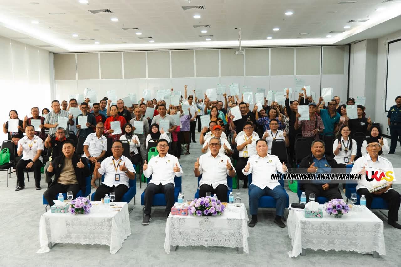
SARIKEI: The survey and gazettement of Native Customary Rights (NCR) land under Section 6 of the Sarawak Land Code is aimed at protecting native land, not taking it away from landowners.
Deputy Minister for Urban Planning, Land Administration and Environment Datuk Len Talif Salleh said the process was intended to clearly identify, record and protect NCR land through proper boundaries and official records.
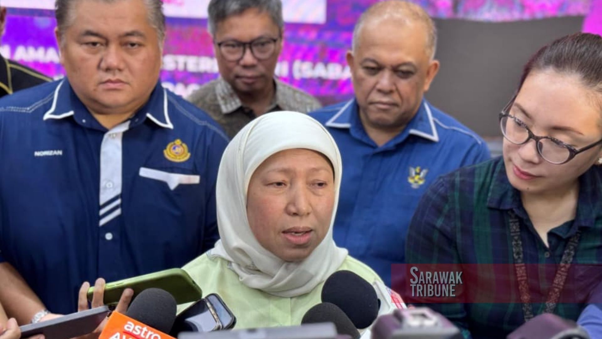
“What we are doing through Section 6 is to identify, record and protect NCR land areas, not to take land away from the people,” he said at the presentation of land titles under Section 18 of the Sarawak Land Code for the Ulu Sarikei (Sare) area at the Sarawak Government Administrative Centre in Sarikei Division on Friday (Aug 21).
He said perimeter surveys were important to determine the size and boundaries of NCR land while ensuring the relevant land information was officially recorded.
Len said the NCR Land Survey Programme, introduced in 2010, comprised two main stages to ensure the recognition of NCR land was carried out systematically.
The first involved perimeter surveys and gazettement of the area as a Bumiputera Communal Reserve (Agriculture) under Section 6, followed by surveys of individual lots.
Land titles would then be issued to eligible owners under Section 18 of the Sarawak Land Code, he said.
He explained that Sections 6 and 18 served different but complementary purposes, with Section 6 establishing the boundaries and area of the land while Section 18 formalised individual ownership.
“This approach is important to ensure NCR land has clear boundaries and records and is managed in accordance with the law,” he said.