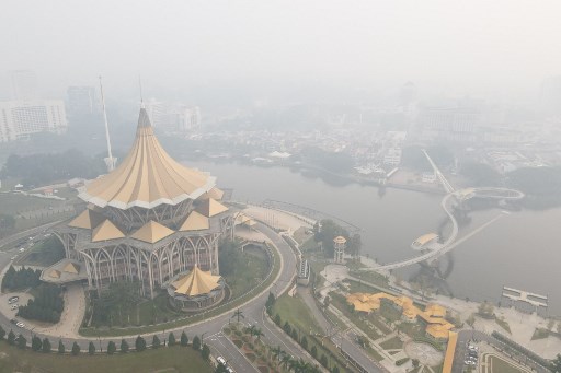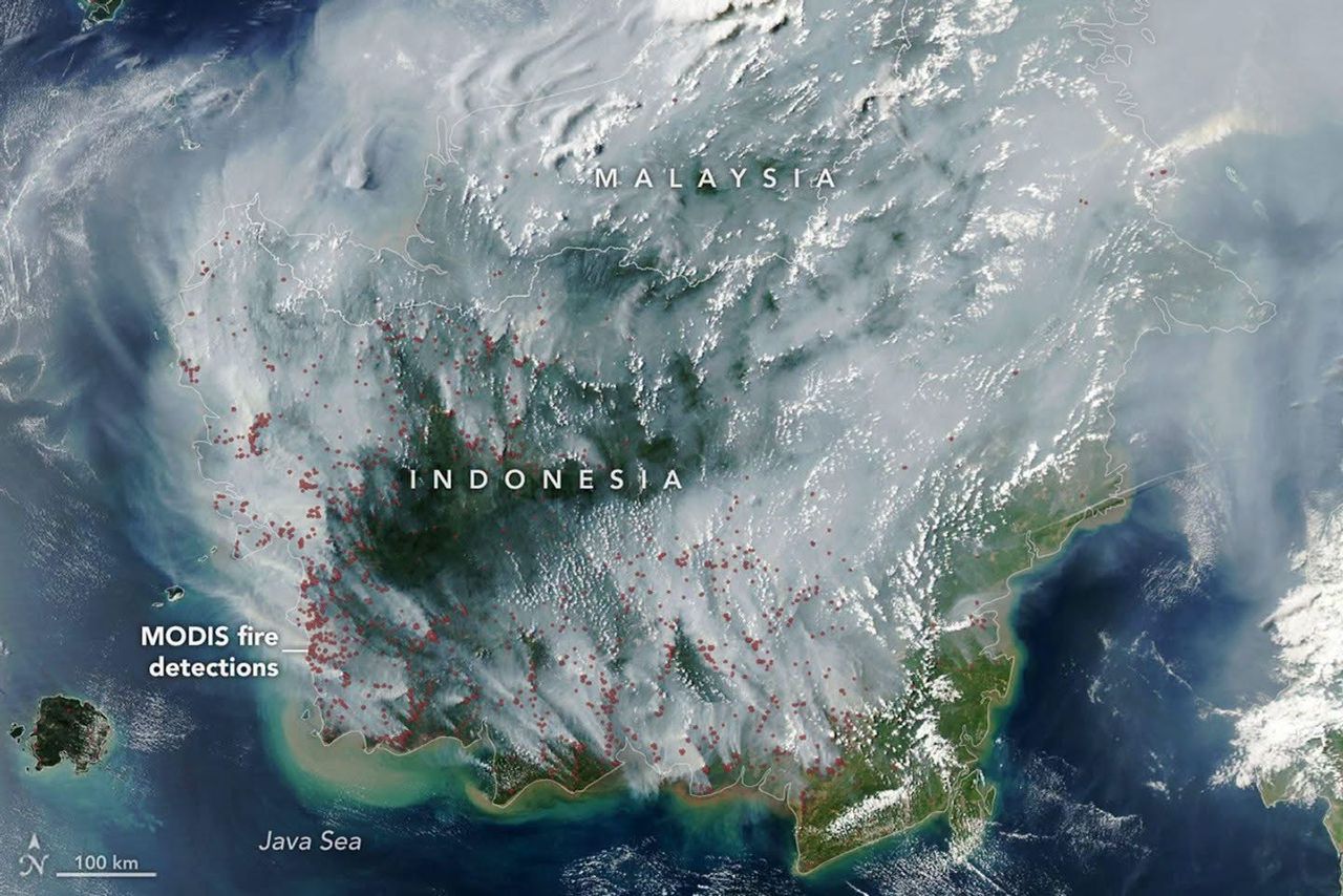
KUCHING: Smoke from fires burning across drought-stricken Indonesia was seen covering much of Indonesia and Malaysia in a satellite image captured on Tuesday (Sept 1).
According to the United States’ National Aeronautics and Space Administration (NASA), fires are smouldering both on the surface and underground in Indonesia, which is experiencing severe and widespread drought conditions.
“Some of these are tropical peatland fires, which burn slowly, release higher amounts of air pollution, and are notoriously difficult to extinguish because they smoulder at low temperatures and often burn underground,” it said.
The extent of the smoke was captured by NASA’s Aqua satellite, showing a thick blanket stretching across large parts of the region.
The image also contained numerous red dots marking locations where the satellite’s Moderate Resolution Imaging Spectroradiometer (MODIS) instrument detected thermal anomalies indicative of fire.
NASA said the satellite image, taken on Sept 1, showed smoke covering much of Indonesia and Malaysia.
Peatland fires can be particularly challenging to bring under control as they can continue smouldering beneath the surface, even when flames are not immediately visible above ground.