
KUCHING: Sarawak Information Systems Sdn Bhd (SAINS) has announced plans to invest this year in the development of a Synthetic Aperture Radar (SAR) analytics platform to address challenges in satellite imaging caused by frequent cloud cover, heavy rainfall and haze.
SAINS chief executive officer (CEO) Busiai Seman said conventional satellite imagery, such as multispectral images commonly viewed on platforms like Google Maps, relies on passive sensors that are easily obstructed by clouds.
“In contrast, SAR technology uses active radar-based sensors that transmit electromagnetic or microwave signals capable of penetrating clouds, haze and smoke, allowing images to be captured regardless of weather conditions or time of day.
“This means imagery can be captured at night, during rainy weather or under heavy cloud cover, which is critical for tropical countries.
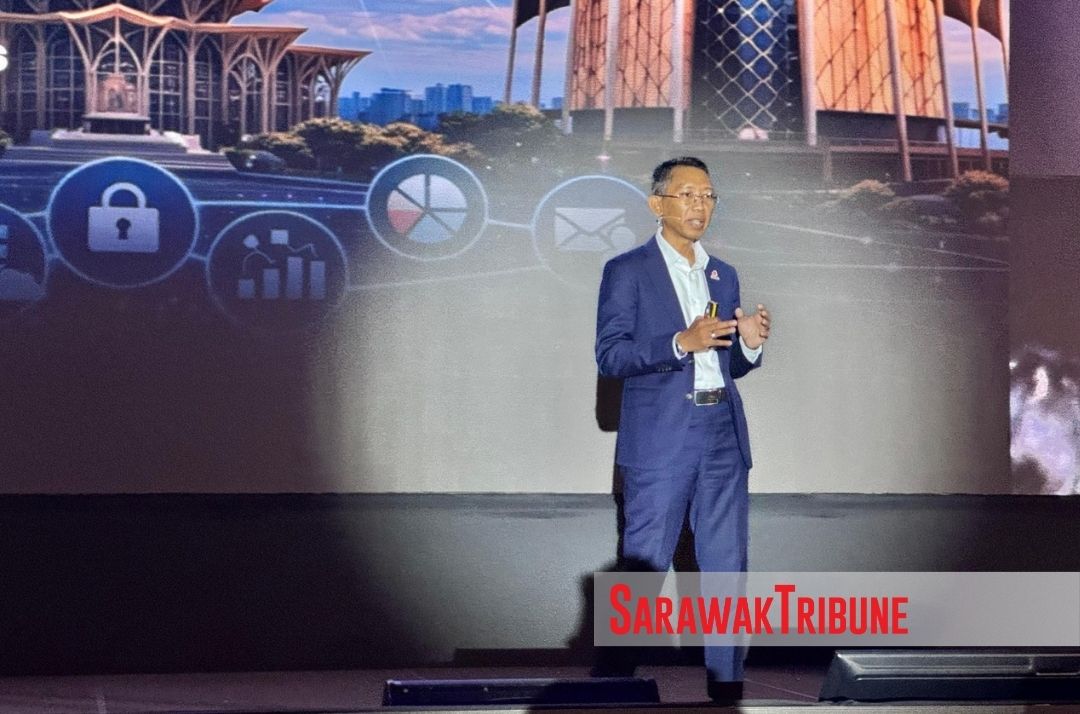
“With frequent rain and persistent cloud cover, SAR offers the best solution, though analysing the data requires specialised skills,” he said this during his presentation at the SAINS Spotlight 2026 held at a hotel here today (Feb 9).
To overcome this, SAINS plans to develop a cloud-based analytics platform that enables users to process SAR data without the need to invest in specialised tools or possess in-depth technical expertise.
“You will capture the image and interpret. And in order for you to interpret that, that is where SAINS comes in.
“What we would like to invest this year is that we will be developing SAR analytic platform.
“Users will only need to upload their data into the platform, which will then process it and generate results based on their requirements,” he said.
He added that Sarawak has been investing in remote sensing technology since the establishment of its geographic information system in 1998, but the focus has now shifted towards shared digital infrastructure that can be utilised across multiple agencies.
“SAINS has already started investing into remote sensing technology. It’s just that for the SAR, we have changed our focus.
“Instead of getting every agency to have a specialised technology, why not science build up a cloud platform all by means so that every agency can use this platform to process their SAR and that is our direction,” he added.